Ever dream about owning a beautiful piece of property in northern Wisconsin? We have some good news: you do! Nearly 43 percent of Vilas County is public land that’s open to visitors for recreation. In all, the county has more than 240,000 acres and the land is peppered with trails, picnic areas, campsites, swimming beaches and scenic vistas. Here’s a quick guide to Vilas County’s biggest areas of public land.
Vilas County Forest
The Vilas County Forest covers nearly 41,000 acres and sprawls across seven townships. Visitors can access the county forest via a 48-mile network of county forest roads. There are three swimming beaches in the county forest and picnicking facilities that are equipped with tables, grills and toilets. The forest has nearly 80 miles of trails open to hunting, hiking, mountain biking, and cross-country skiing. To explore the county’s trails, download the Map It Vilas County trails app. The county has placed fishing piers on eight lakes within the forest and it maintains three campgrounds—the Tamarack Springs Campground, the River Road Equestrian Campground and the Torch Lake Campground and RV Park.
Chequamegon-Nicolet National Forest
This 1.5 million-acre forest covers a large swath of northern Wisconsin and covers an eastern area of Vilas County. It includes vast remote tracts, including hardwood forests, pine savannas, wetlands, bogs and scores of glacial lakes. The forest is rich in wildlife and home to large populations of white-tailed deer, foxes, beavers and river otters, as well as birds like turkeys, eagles and woodpeckers. More than 37,000 acres of the forest (part of the Nicolet segment) can be found in Phelps. Smaller segments of forest are located in Conover and Eagle River. A good place to access the forest is the Anvil Lake Trail, located east of Eagle River.
Northern Highland-American Legion State Forest
This state forest was established in 1925 to protect the headwaters of the Wisconsin, Flambeau and Manitowish Rivers. It covers more than 232,000 acres and Vilas County has nearly 150,000 acres of state forest land. The forest offers lots of recreational opportunities, including boating, camping, paddling, bicycling and hiking. One nice place to get into the forest for a hike near Boulder Junction is the Lumberjack Trail.
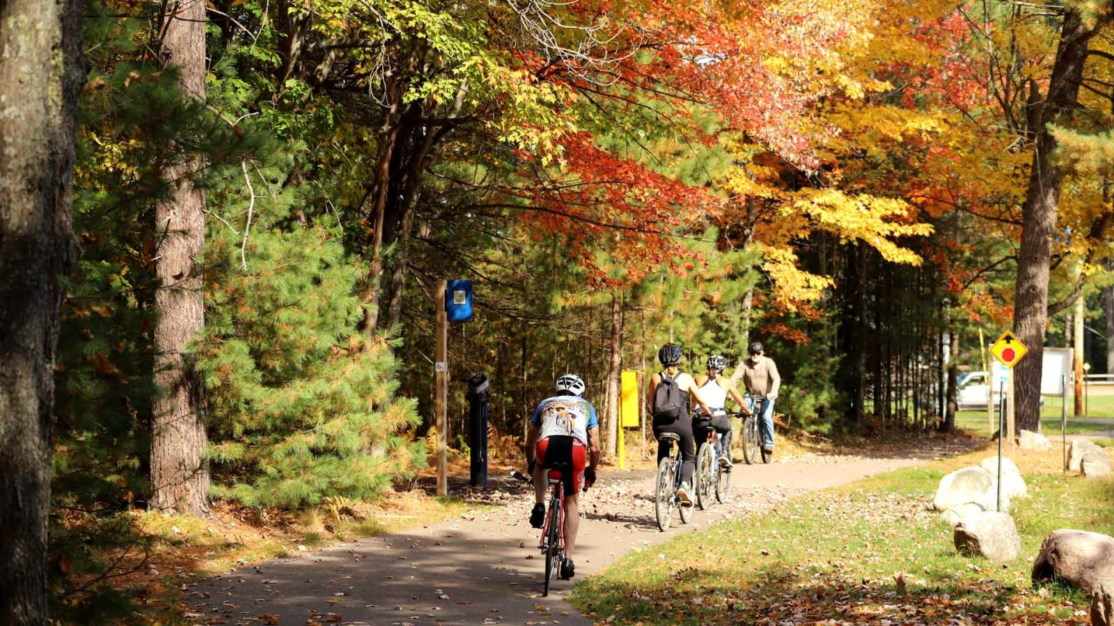
Download the Map It Vilas County trails app!
Before you hit the trail, download the Map It Vilas County trails app. This free app is incredibly useful—it will help you navigate nearly 70 silent sports trails and 700 miles of snowmobile trails. Find your perfect trail with filters by community, activity, length and more. Best of all, the app will show you where you are on the trail, even when you can’t get a cell signal.
Download now!